Generate topographical contours in this AutoCAD plugin
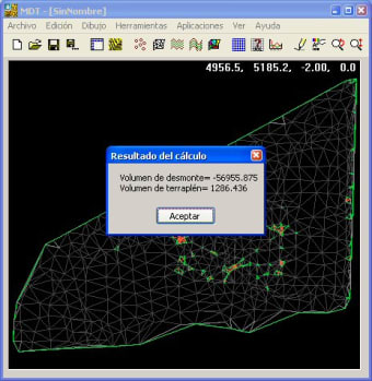
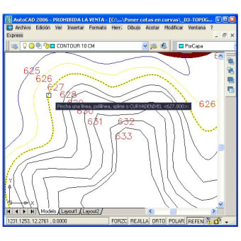
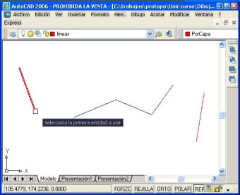
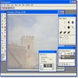
Pprotopo is a plug-in for AutoCAD especially designed to generate topographical maps. WithPprotopo you can define all the trigonometric parameters necessary to represent the inclinations of a field. Data, such as cross-sections, tables and other topographical remarks can be inserted.
Top Recommended Alternative

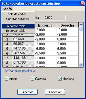
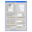
To facilitate the definition of some of these parameters, Pprotopo uses the so-called contour, Ppuntos and transverse lines. In addition, it allows the importing and exporting of surfaces, layered work, inter-sectional models and unite lines amongst others.
Ultimately, Pprotopo is a plugin especially designed for surveyors and engineers performing civil works although amateur topographers may also find some value in it.